If anything is an indicator of a powerful hurricane, it’s the measure of wave height, and Hurricane Milton is packing a punch in the Gulf of Mexico as it’s expected to make landfall in Southwest Florida Wednesday night.
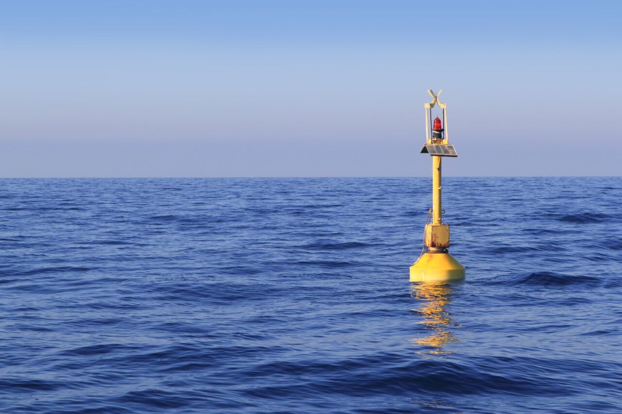
The National Oceanic and Atmospheric Administration (NOAA) network of weather buoys off Florida coastlines has long been a favorite weather pulse for boaters, anglers, surfers and other nautical interests. But it’s also a serious observation network that can reveal how threatening storms can be.
As of 11 a.m., the “Pulley Ridge” weather buoy (NOAA weather buoy 42097) in 81 meters of water in the Gulf of Mexico just off the coast of Naples and Fort Myers recorded 27.9-foot waves as of 11 a.m. Wednesday. The swell height alone is 20.7 feet. Such a push is likely to contribute to a powerful storm surge once the storm makes landfall.
Even farther north, notable waves are building as the Category 4 storm encroaches the west coast of Florida. At the “West Tampa” buoy station (buoy number 42036) 9.8-foot waves are being recorded on that device in the Gulf of Mexico.
The National Weather Service marine observations and forecasts said the eye of Milton is now moving at 15 mph, moving northwest and is expected to make landfall about 8 p.m. on Wednesday.
Given the power of the winds and waves, officials in multiple counties are advising residents to stay away from the water for much of the Gulf Coast. Some are advising people not to become “storm tourists,” those who go to the water areas to catch a glimpse of the devastation.
“Don’t be disaster tourists,” said Ken Hagan, the Chair of the Hillsborough County Commission. “The last thing we need to be doing is responding to a call that could have been avoidable.”


One comment
The Cat In The MAGA Hat
October 9, 2024 at 2:29 pm
Google National Data Buoy Gulf of Mexico
Comments are closed.