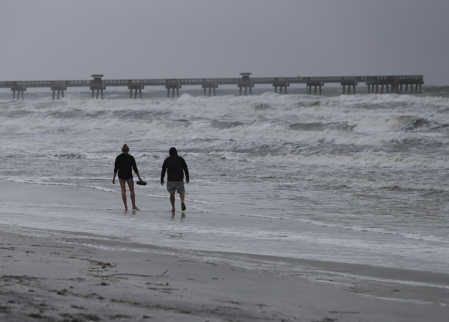
In what might eventually be more a psychological blow than a meteorological one, there’s a decent chance that Hurricane Matthew could loop back full circle for a second, unwelcome visit to South Florida next week.
If so, what arrives Tuesday would just be a weakened remnant of the monster storm that’s about to rake the Florida and Georgia coasts, meteorologists say. It’s more akin to rubbing salt in the Sunshine State’s wounds than inflicting further damage, meteorologists say. It would be unusual, but not unprecedented.
It is still a long way out, but some computer models show that after raking the lower southeast coast, Matthew will turn east into in the Atlantic and then back down south again. This many days out, any model forecast is subject to major changes and shouldn’t be relied upon, meteorologists caution. Still, the National Hurricane Center’s five-day forecast shows a now-tropical storm Matthew making three-quarters of the loop by Tuesday morning.
One of the two major computer models that meteorologists use on – the American GFS model – has Matthew doing a full circle and crossing into South Florida sometime Tuesday. The other one, the European model, doesn’t quite complete the circle, says Jeff Masters, a former federal hurricane hunter meteorologist and meteorology director of Weather Underground.
Masters puts the odds of a full loop-de-loop at 50-50, but it is getting more probable.
A few days ago, Colorado State University meteorology professor Phil Klotzbach laughed when what he first saw the first model showing what he calls “this funky loop.” He told himself: “That’ll be the day.” Now he says it’s “probably pretty likely.”
PAST LOOPERS
Hurricane Ivan in 2004 hit the Florida Panhandle, went up to Virginia and then went back down through Southeast Florida, back into the Gulf of Mexico and to Texas, Masters says. Ivan’s giant loop in 2004 was followed up with a loopy Jane that same year, Masters says.
In 2005, Ophelia wasn’t a big storm and was overshadowed by Katrina, Rita and Wilma, but it made a loop, though an insignificant one, Klotzbach says.
And in the 1980s, Hurricane Elena made a tight circle just outside Tampa Bay, causing evacuation headaches. That same year, 1985, Juan made not one but two loops off the Louisiana coast.
In the unlikely event that Matthew remains at hurricane strength for its second Florida landfall, it would be the first time a single hurricane hit Florida twice since 1935, Klotzbach says.
WHY IT MAY HAPPEN
Klotzbach credits “a funky amalgam of steering currents.”
“The steering currents are really weak so the thing is going to kind of drift,” Klotzbach says.
Essentially there’s a high-pressure system coming in from the United States to the west and growing Tropical Storm Nicole to the east, leaving Matthew stuck and forced southward, says private meteorologist Ryan Maue at Weather Bell Analytics.
NOT SO BAD THE SECOND TIME AROUND
“The second landfall, if it does happen … is considerably less of a worry than what’s going to occur in the next day or two,” Maue says. “Florida is going to take a lot of the punch out of it when it hits land” the first time.
And if that’s not enough, when it starts to make the circle it will hit strong upper-level dry winds that will decapitate the storm, Masters says. There’s a good chance it won’t even be a tropical storm, just a depression or a wave or some kind of remnant, Maters says.
The storm might recall Ivan. That second hit “was kind of a psychological blow” because by the time it returned it “didn’t have any oomph in it at all,” Masters says.
As he hunkers down for Matthew and readies to clean his yard after it leaves, University of Miami tropical meteorologist Brian McNoldy says he doesn’t want to think about a sequel, even if it’s weaker.
“Once this is gone,” McNoldy says, “I’m ready for it to be gone.”
Republish with permission of the Associated Press.


