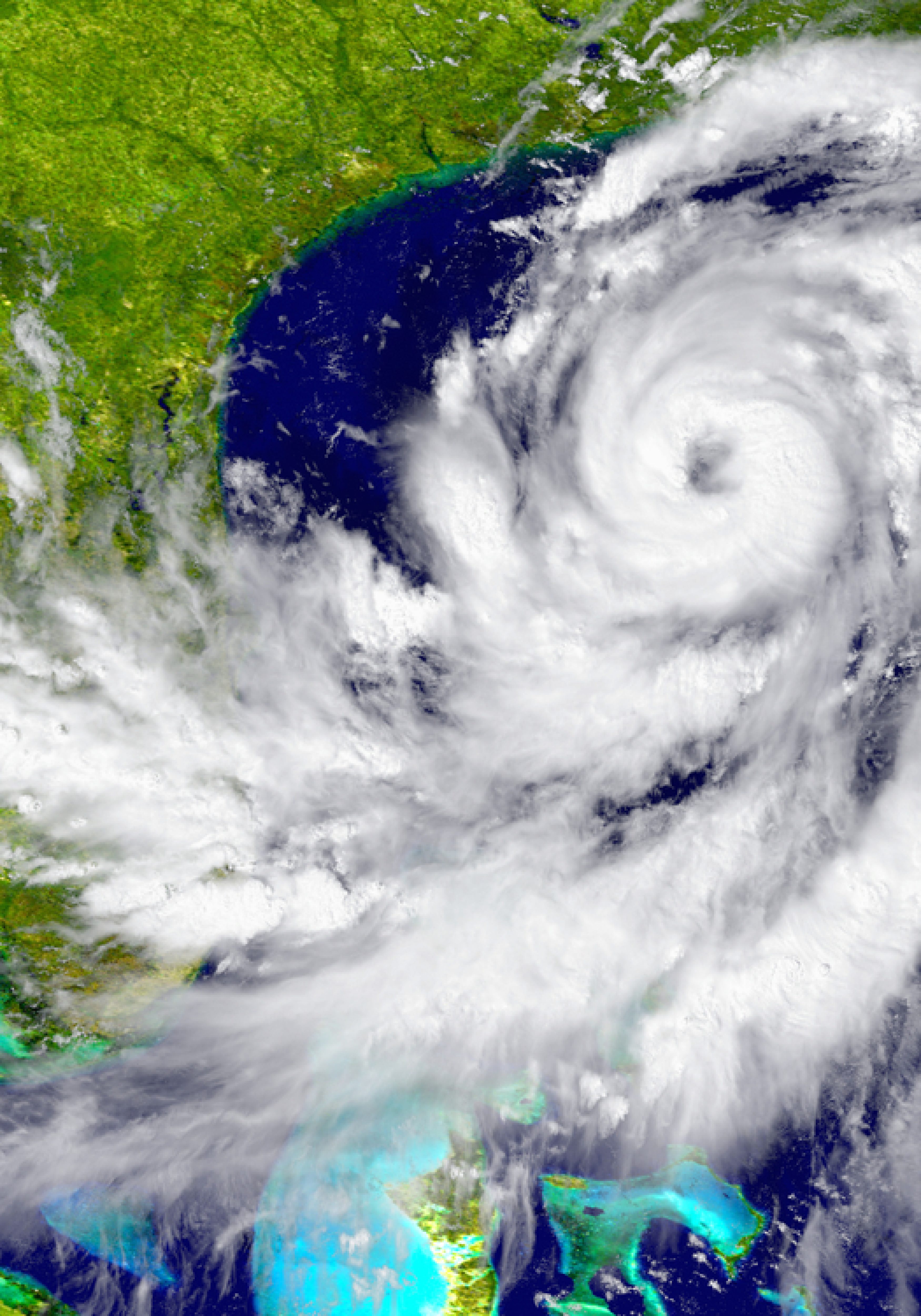
A climatic quirk seems to be slightly shielding the U.S. coast during busy hurricane seasons, often weakening major storms just as they approach America’s beaches, a new study finds.
That could help explain why it’s been more than 11 years since a major hurricane with winds of more than 110 mph has hit the United States mainland.
Last year’s Hurricane Matthew was a perfect example of this uniquely American “protective barrier” of stronger crosswinds and cooler coastal waters, according to the study’s author, climate scientist Jim Kossin of the National Oceanic and Atmospheric Administration.
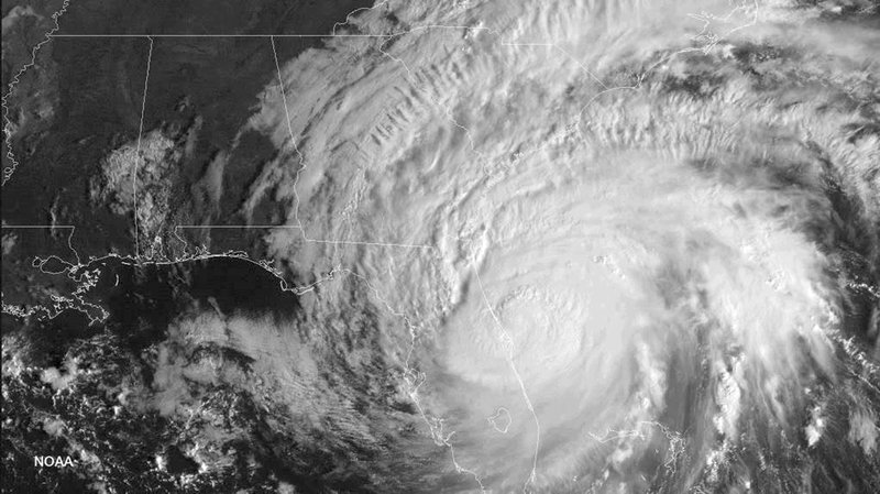
Matthew devastated Haiti as a monster storm hitting land with 145 mph winds, threatened Florida as a major hurricane and then fizzled as it finally came ashore in South Carolina, barely registering as a hurricane with 75 mph winds.
Kossin’s study published Wednesday in the journal Nature found that shifts in air and ocean conditions over decades work together to weaken major storms along the U.S. coast. This protective barrier begins around the U.S.-Mexico border in Brownsville, Texas, and gets more noticeable around the Atlantic coast, Kossin said.
“It’s a lucky byproduct for the United States coast,” Kossin said. “It’s really unfortunate that we’re the only ones that seem to be benefiting from this situation.”

Kossin mapped sea surface temperatures and wind shear levels in the Atlantic to see small changes near the U.S. coast — but only during a busy cycle. His study found a localized increase in high altitude crosswinds — called wind shear — that tear at a storm’s structure. It also found slightly cooler sea surface temperatures, which reduce a hurricane’s fuel of hot water. The changes seem to be just a function of larger natural conditions, he said.
Take October’s Hurricane Matthew: “As it approached Florida, it started to encounter wind shear, which weakened it to a minimal hurricane,” Kossin said.
Previously, he also found that during busy cycles, bigger storms tend to form slightly more to the east — toward Africa — giving them more opportunity to curve harmlessly north in the Atlantic instead of hitting the U.S. coastline. All those factors seem to be helping reduce the U.S. threat compared to other places in the Atlantic, he said.
Even with that “protective barrier” as Kossin calls it in the paper, there is still a greater chance of major hurricanes nearing the U.S. during busy times than quiet times, Kossin said. That’s because there are more storms brewing overall.
Three outside scientists contacted by The Associated Press praised the study as interesting, though not complete, while two others cautioned against reading too much into it. Georgia Tech’s Judith Curry called it solid research while Penn State’s David Titley said he worried about small sample size and natural variations.
Kossin and other scientists also said the 11-year major hurricane landfall drought since 2005’s Wilma is a bit of a statistical quirk because of strict meteorological definitions and national borders. Superstorm Sandy in 2012 wasn’t considered a major hurricane because its winds weren’t strong enough.
Republished with permission of the Associated Press.


