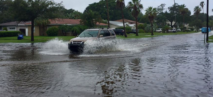
Tropical Storm Emily is now headed inland across west-central Florida amid forecasts of heavy rain over the southern and central parts of the peninsula.
At 2 p.m., Emily was centered about 30 miles (50 kilometers) southeast of Tampa and had maximum sustained winds of 40 mph (65 kph). It is moving at 10 mph (17 kph) to the east and expected to weaken to a tropical depression in the coming hours as it crosses the peninsula and then enters.
The National Hurricane Center in Miami said Emily, which made landfall south of the mouth of Tampa Bay late Monday morning, is expected to move out into the Atlantic Ocean off Florida’s east-central coast on Tuesday morning.
A tropical storm warning remains in effect from Englewood to Bonita Beach.
Forecasters say Emily is expected to dump between 2 to 4 inches (50 to 100 millimeters) of rain between the Tampa bay area and Naples, with isolated amounts up to 8 inches (200 millimeters) in spots. Elsewhere across central and south Florida, 1 to 2 inches (25 to 50 millimeters) of rain are possible.


