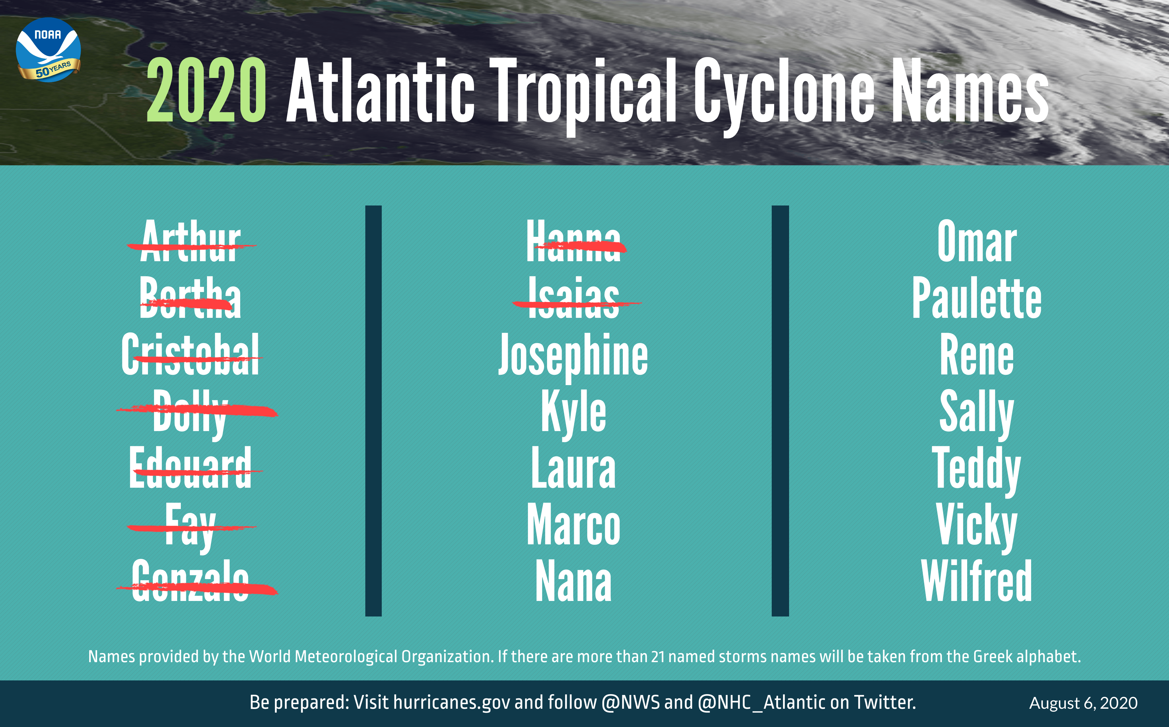
The National Oceanic and Atmospheric Administration on Thursday upgraded the 2020 Atlantic hurricane season outlook from “above-normal” to “extremely active.”
“This year, we expect more, stronger, and longer-lived storms than average, and our predicted ACE range extends well above NOAA’s threshold for an extremely active season,” said Gerry Bell, lead seasonal hurricane forecaster at NOAA’s Climate Prediction Center.
The updated outlook forecasts 19 to 25 named storms this season, seven to 11 of which would likely become hurricanes. The outlooks also calls for three to six of those storms to develop into major hurricanes before November.
Thus far, the 2020 Atlantic hurricane season has seen nine named storm. Typically, however, only two named storms form by early August and a ninth named storm would not develop until October.

“This is one of the most active seasonal forecasts that NOAA has produced in its 22-year history of hurricane outlooks,” said U.S. Secretary of Commerce Wilbur Ross. “NOAA will continue to provide the best possible science and service to communities across the Nation for the remainder of hurricane season to ensure public readiness and safety. We encourage all Americans to do their part by getting prepared, remaining vigilant, and being ready to take action when necessary.”
Forecasters credit the “extremely active” hurricane season to warmer than average sea surface temperatures in the Tropical Atlantic Ocean and Caribbean. They added that reduced vertical wind shear, weaker tropical Atlantic trade winds and an enhanced west African monsoon have also played a large role.
Florida narrowly avoided landfall from Tropical Storm Isaias over the weekend, prompting Gov. Ron DeSantis to describe the state’s emergency preparations as a “good trial run” for the state’s new COVID-19-considerate sheltering strategy.
The new strategy includes temperature screenings, PPE kits and non-congregate sheltering alternatives for those with COVID-19 or experiencing COVID-19 like symptoms.


