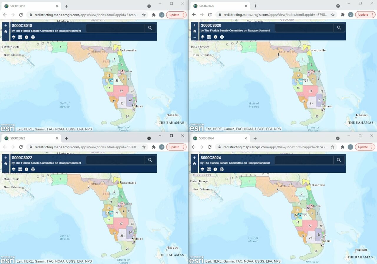
With both House and Senate drafts of Florida’s congressional maps showing a divided Tampa, City Council members on Friday sent a letter to redistricting committees asking to keep the city’s congressional district intact.
“For some time, Tampa has been represented by one member of Congress. This has provided for cohesive leadership and accountability throughout our great city,” Tampa City Council Chair Orlando Gudes said in the letter. “This sole representation has ensured that our community receives strong representation in Congress with vigorous advocacy. There is no more of an important time for our city to continue with this singular leadership.”
The city limits of Tampa have been housed in Florida’s 14th Congressional District since the Florida Supreme Court redrew maps during the last round of redistricting. Maps approved by the Legislature had been ruled unconstitutional and were redrawn for the 2016 election. Democrat Kathy Castor has since firmly held the seat.
There are four current drafts in the Florida Senate Committee on Reapportionment and two in the Florida House Redistricting Committee. All would split Tampa into multiple districts. Florida’s population growth over the last decade earned it a new congressional seat this time around. Most maps put that new district along the I-4 corridor, most likely in Polk County, complicating Tampa’s congressional make up.
While each map divides the city differently, MCI Maps founder and political consultant Matt Isbell thinks they have at least one thing in common.
“The Tampa region is downright bizarre,” he said.
The Tampa City Council letter came after Council Member Luis Viera read about Sen. Darryl Rouson‘s warning shot about the Senate maps in a Florida Politics story.
“We are the third most populace city within the state of Florida,” Viera said. “And I think that having this City of Tampa centered under one representative or under one district is something that is very, very good for our citizens whenever it comes to unified advocacy for issues in Washington which affect the city of Tampa … If this goes forward, this could seriously undermine the ability of this city and our constituents to be effectively represented in Washington D.C.”
Florida’s constitution says districts should be drawn to “follow existing political and geographical boundaries” when possible. With nearly 385,000 residents, Tampa is Florida’s third-largest city. It’s also among the fastest growing in the state. The ideal population for congressional districts is nearly 770,000 residents, putting Tampa well within the limit.
Last month, Jay Ferrin, staff director for the Senate Reapportionment Committee, said population growth and shifting to accommodate a new Polk district were responsible for dividing Tampa. But Rouson disagreed.
“His response was, it grew in population and it had to do that so that it would be more visually appealing to the surrounding districts,” Rouson said last month. “I’m going to follow up on that. But I’ve heard from some folks in Tampa that they’re not too happy with the way it’s drawn.”
All seven members of Tampa City Council agreed.


One comment
Karl Nurse
December 15, 2021 at 12:35 pm
This is being across the country: Charlotte, Houston, Dallas, Oklahoma City, Salt Lake City, etc. Big cities which lean Democratic are being sliced into multiple pieces to eliminate their ability to be impactful.
Comments are closed.