All but six counties are under states of emergency as the eventual Tropical Storm Debby moves toward the Gulf of Mexico.
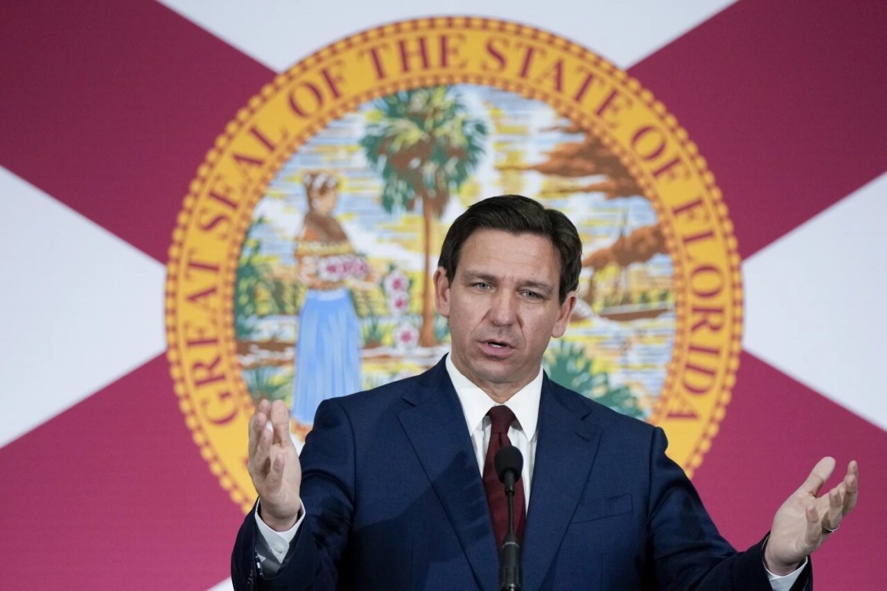
“Because of the foregoing conditions, which are projected to constitute a major disaster, I declare that a state ofemergency exists in Alachua, Baker, Bay, Bradford, Brevard, Calhoun, Charlotte, Citrus, Clay, Collier, Columbia,• DeSoto, Dixie, Duval, Escambia, Flagler, Franklin, Gadsden, Gilchrist, Glades, Gulf, Hamilton, Hardee, Hendry, Hernando, Highlands, Hillsborough, Holmes, Jackson, Jefferson, Lafayette, Lake, Lee, Leon, Levy, Liberty, Madison, Manatee, Marion, Monroe, Nassau, Okaloosa, Okeechobee, Orange, Osceola, Pasco, Pinellas, Polk, Putnam, Santa Rosa, Sarasota, Seminole, St. Johns, Sumter, Suwannee, Taylor, Union, Volusia, Wakulla, Walton, and Washington counties,” reads the order signed by Gov. Ron DeSantis
The Governor’s office notes the following weather guidance is in effect as of Saturday afternoon.
- Hurricane Watches have been issued for: Coastal Taylor, Coastal Dixie, Coastal Franklin, Coastal Wakulla, Coastal Jefferson and Levy counties.
- Tropical Storm Warnings have been issued for: Mainland Monroe, Coastal Collier, Coastal Lee, Coastal Charlotte, Sarasota, Manatee, Hillsborough, Pasco, Pinellas, Hernando, Citrus and Sumter counties.
- Tropical Storm Watches have been issued for: the Florida Keys including the Dry Tortugas (Coastal Monroe), Inland Lee, Inland Charlotte, DeSoto, Hardee, Polk, Lake, Inland Dixie, Inland Taylor, Inland Jefferson, Inland Wakulla, Inland Franklin, Liberty, Gadsden, Leon, Madison and Lafayette counties.
- Storm Surge Warnings are in effect for: Coastal Hernando, Citrus, Levy, Dixie and Taylor Counties.
- Storm Surge Watches are in effect for: Coastal Lee and Charlotte counties, including Charlotte Harbor, and Sarasota, Manatee, Hillsborough (including Tampa Bay), Pinellas and Pasco counties.
- A Coastal Flood Watch has been issued for the Florida Keys.
“As of 2 PM EDT, Tropical Depression Four is located about 115 miles south-west of Key West. On the forecast track, the center of the depression will move across western Cuba this morning, and then move over the eastern Gulf of Mexico later today and Sunday, reaching the Florida Gulf coast late Sunday or Monday,” the EOG adds.
“Maximum sustained winds are near 35 mph with higher gusts, and slow strengthening is expected today and tonight. The depression is expected to become a tropical storm tonight. A faster rate of strengthening is expected Sunday through Monday, and the system could be near hurricane strength when it reaches the Florida Gulf Coast.”


