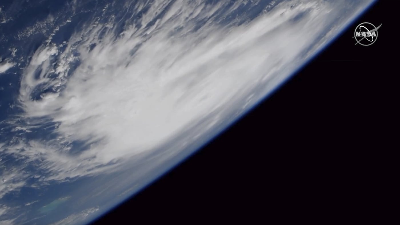
A disturbance in the southwestern Gulf of Mexico is likely to become a tropical storm that will hit the northern U.S. Gulf Coast with wind and rain, forecasters said Thursday.
Moving off the eastern coast of Mexico, the low pressure system was likely to develop into a tropical or subtropical system before Friday, according to the National Hurricane Center.
Forecasters issued a tropical storm warning for southeastern Louisiana and the northern Gulf Coast from the Alabama-Mississippi line to the Big Bend area of Florida.
The disturbance, which could become Tropical Storm Nestor, had maximum sustained winds of 35 mph (55 kmh) and was located about 600 miles (965 kilometers) southwest of the mouth of the Mississippi River. It was moving to the northward at 7 mph (12 kmh) with a northeastern turn expected.
A tropical storm could bring as much as 3 inches of rain on the Florida Panhandle coast and as much as 1.5 inches inland. Arid regions of Alabama, Georgia and northern Florida were in the storm’s possible track.
A tropical storm could affect high school and college football games scheduled for Friday and Saturday, and forecasters said storm surge could be a problem on the Florida coast from around Apalachicola to near Tampa.
Officials also fear high winds could destabilize the remnants of an 18-story Hard Rock Hotel that collapsed while under construction in New Orleans, killing three.
The system could still be a tropical storm with winds above 39 mph (63 kph) on Sunday morning over eastern North Carolina before moving back over water, forecasters said.

