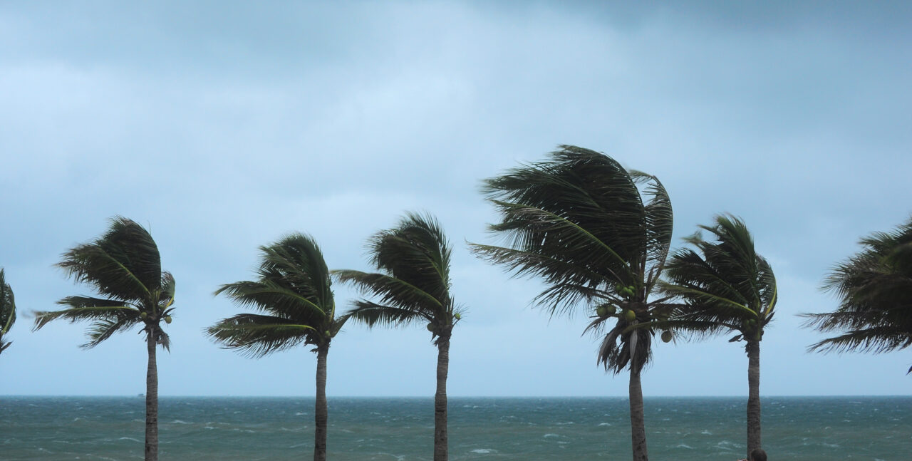
Hurricane Ian’s effects have parts of South Florida in a seriously sodden state as the latest advisory puts the area from Boca Raton to Georgia under a tropical storm warning and parts of the Florida Keys under a storm surge watch.
South Florida doesn’t have to fear the inundation that the Gulf Coast might be getting from Hurricane Ian before the end of the week. But the area is experiencing dramatically higher-than-average rainfall, a tornado advisory, and a special marine warning, according to the National Weather Service (NWS) in Miami.
And the storm’s eastward shifting track could present a hazard for the area, the NWS said.
“Potential impacts due to the eastward shifting track will be an increased potential for tropical storm force winds (mainly in gusts) into our east coast counties,” the NWS tweeted Tuesday morning. “The flooding potential has increased slightly across the interior of South Florida as well.”
Maps Tuesday morning showed Collier County under a tropical storm warning. By the 11 a.m. advisory, a hurricane watch was in effect for that county’s coast. A watch means an event is possible and a warning means it’s imminent.
Tuesday morning, Collier County announced voluntary evacuations and shelters opening Tuesday evening.
“Wind watches and warnings were updated overnight to upgrade tropical storm watches to warnings and expand tropical storm watches into Palm Beach County and portions of Broward and Miami-Dade,” the NWS in Miami tweeted early Tuesday.
Maps show parts of South Florida are getting between 5 and 6 inches of rain in central Broward County. That’s the same amount of rain that fell in some parts of Miami-Dade for the entire month of September last year, according to the South Florida Water Management District.
The NWS issued a tornado watch that’s in effect until 5 p.m., covering everything south from the line between Bonita Springs east to Jupiter Farms. That could mean gusts of 70 mph winds.
For boaters, this is not the best time to be out on the water. The NWS issued a special marine warning for the waters from 20 nautical miles out, from Deerfield Beach to Ocean Reef in the Florida Keys. Waterspouts are possible and winds greater than 40 mph could be happening, according to the advisory.

One comment
Tom
September 27, 2022 at 12:58 pm
Tropical 8 ocean breeze coming. Great time to fly aircraft down in south Florida area. Could get someone epic pictures for national geographic.
Comments are closed.