11 a.m. update: The city of Jacksonville sent an email saying the worst is yet to come.
“Hurricane conditions are expected in 3-6 hours,” while water levels look poised to peak at “1-2 p.m. and 1-2 a.m. tonight.”
Two bridges are closed, the Dames Point Bridge and Atlantic Boulevard Intracoastal Waterway Bridge. The Fuller-Warren is still open, for now.
JEA reported 12,456 outages as of 11:15 a.m.
There are also mounting public works issues: “High winds have forced Public Works to suspend services until Saturday,” the email reported. “To date they have addressed 39 stormwater-related issues, 15 tree issues and 27 malfunctioning traffic signals. Citizens are reminded to treat malfunctioning traffic lights as 4-way stops.”
There will be no airport arrivals or departures Friday.
“Waste collections normally scheduled for Friday have been rescheduled for Sunday, Oct. 9,” it said.
****
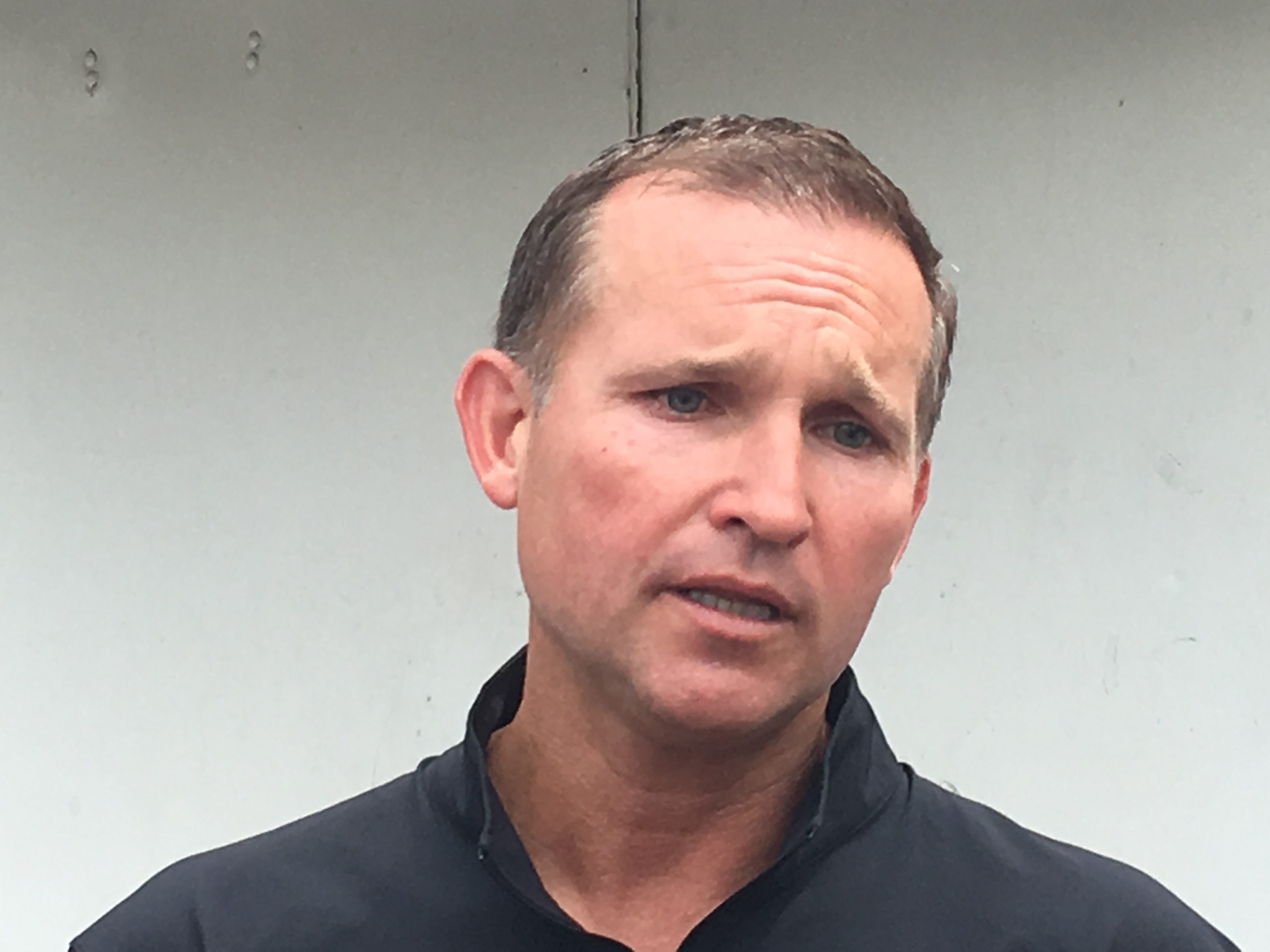
On Friday morning, Jacksonville Mayor Lenny Curry briefed the media on the anticipated effects of Hurricane Matthew, poised to barrel northward up the coast parallel to Jacksonville during the afternoon and evening hours.
Long story short: while Jacksonville appears to be out of the path of the eye wall, the worst of the storm is to come locally, and it will be serious and for a sustained period.
City leaders, however, seem confident in their response plan.
Friday morning’s briefing was the last “live” briefing planned through the storm, with information to be disseminated electronically to the media during the peak of the storm.
Anticipated impacts as of a 7:30 email from the mayor’s office: “Expected rainfall is 6-10 inches along the coast and 4-6 inches inland. Hurricane-force winds are expected to be 60-80 mph with 90 mph gusts along the coast, and 40-60 mph with 80 mph gusts inland.”
Another fear is storm surge: “Storm surges are expected to be 7-9 feet above ground level at the oceanfront with battering breakers between 20-25 feet. Storm surges of 6-9 feet are predicted along the Intracoastal and the northern St. Johns River, up to 3 feet in Downtown Jacksonville, Ortega, and Julington Creek.”
Despite the dire nature of these forecasts, expectations are geared down from forecasts 24 hours before.
Curry’s advice to people: “hunker down.”
“There’s a strategy already being worked for re-entry,” Curry said regarding beaches and low-lying communities that were evacuated.
The National Weather Service representative referred to the storm now as a “high-end Category 2” storm, with wind speed peaking in the late afternoon and into the evening.
“The forecast wind speed … has decreased,” as has storm surge, she reported.
Despite this good news, storm surge in low-lying areas and beach communities is still potentially “life-threatening.”
High waters and an “extended period of flooding problems” could be an issue in areas close to the St. Johns River for the next week, she said.
Public works crews are on standby for post-storm cleanup and remediation, Curry said.
“Don’t take your guard down … this forecast has not changed that significantly,” Sheriff Mike Williams said.
JSO will handle calls for service as long as the weather permits.
Curry noted there is still “shelter capacity,” and regarding evacuations, some “heard the message loud and clear” and “some folks chose not to follow the order.”
Power outages, as of 9:03, are at 2,503 customers, according to JEA. But Mayor Curry said to “expect power outages” and not to expect repair crews to be “out during unsafe conditions.”
Assets for repair — both local crews and those from outside of town — were secured ahead of time, Curry said.
Curry also cautioned the media to disseminate information that is verified; unsubstantiated rumors of looting at the beaches spread in social media on Thursday.
“The moment that rumor broke,” Curry said he was in communication with “the sheriff and his team.”
Williams noted that National Guard reinforcements are standing by to provide relief and manpower to police officers in Jacksonville and the beach communities.
Meanwhile, Curry has “no plans at this moment to impose a curfew.”


