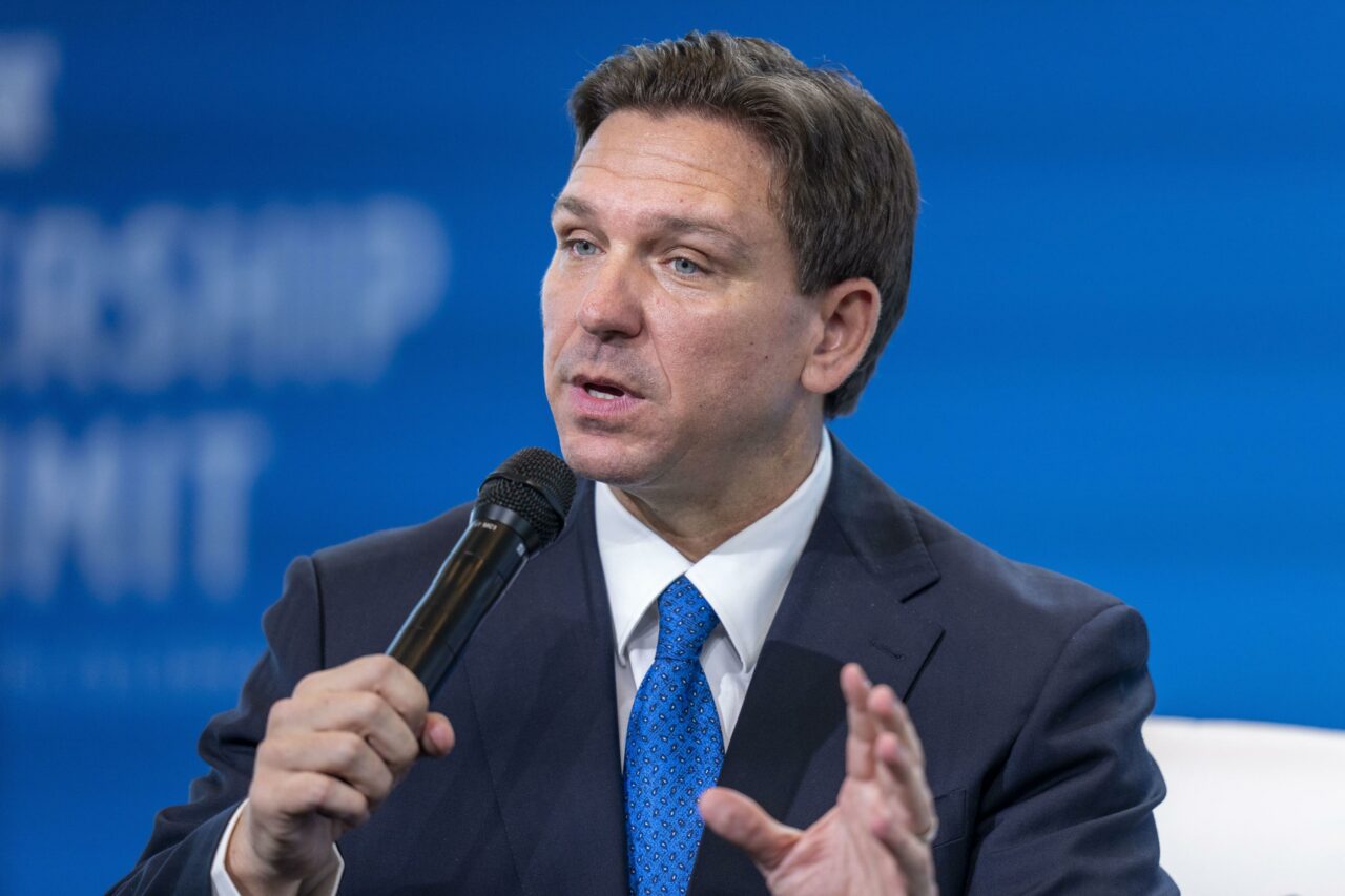
Gov. Ron DeSantis said Wednesday afternoon that some forecast models predict Hurricane Helene to make landfall in Florida’s Big Bend region as big as a Category 4 storm, although many officials expect it will come ashore as a Category 3. Both are considered major hurricane levels.
“Most of the models have this becoming a major hurricane, some even have it coming as a Category 4,” DeSantis warned. “You have time to implement your plan so that you’re prepared for this storm.”
The Governor urged residents to get gasoline, nonperishable food and water ahead of the storm’s landfall.
“It’s not a matter of whether we’re going to get effects, it’s just a question of how significant those effects will be,” DeSantis said.
During a 3:30 p.m. briefing from the state’s Emergency Operations Center in Tallahassee, DeSantis said Hurricane Helene will bring damaging winds, up to 12 inches of rain and high storm surges along the coastal areas. He said Tallahassee was likely to see the eye, or center, of the hurricane pass over it.
“You’re going to have both wind and water hazards from this storm,” he said.
___
This story was produced by Fresh Take Florida, a news service of the University of Florida College of Journalism and Communications. You can donate to support our students here.


2 comments
A Day without MAGA
September 25, 2024 at 5:53 pm
Panama City is in the statical eyewall on the current track
Be careful out there
September 25, 2024 at 10:15 pm
I hope everyone has heeded the forecast and takes precautions! We can all get through this together with love and compassion. Unity and not division. Stay safe everyone!
Comments are closed.