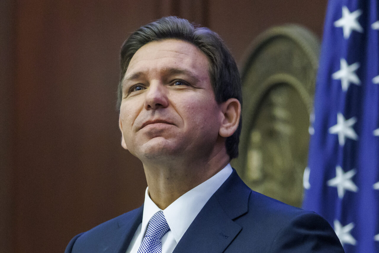
As Hurricane Helene heads for a Big Bend landfall late Thursday, Gov. Ron DeSantis is recalling very recent storm history in contextualizing the expectations for the storm, which he said could be “like déjà vu all over again.”
DeSantis said the “potentially Category 4 storm” is “nearing more of an Idalia track” with “models are nudging the center of the storm a little bit east, and that’s significant when you’re talking about Tallahassee.”
The Governor added that the “slight trend” in storm modeling could be “impactful” if it goes “30-40 miles to the east” of the previous expectations, which saw the eye of the storm potentially going over the tree-lined state capital that has never been tested by a storm like this.
Idalia hit the Big Bend on Aug. 30, 2023, making landfall at Keaton Beach. And it created adverse impacts even while hitting one of the lower-population areas on Florida’s coast, including nearly $450 million in agriculture damage, $64 million in timber losses, and more than $30 million of adverse impact to aquaculture.
“These things can rapidly intensify,” DeSantis said. “We’re just going to assume this is a major hurricane and do our thing ahead of landfall”
The Governor vowed to help “fiscally constrained counties” with storm recovery during Thursday’s remarks, and said Federal Emergency Management Agency reimbursement would be forthcoming as well for “serious debris removal” and other storm functions that may exceed their modest budgets.
“We put aside half a billion a year for disaster response,” DeSantis said. “We’re in good shape to help them.”
Outside of the cone, impacts will be felt, including “significant storm surge in coastal areas” expected to be “churning a lot of water, surge up and down the west coast of Florida.”
Division of Emergency Management head Kevin Guthrie cautioned people in the path of the storm not to go outside when the eyewall is passing overhead.
“If it goes from horrible and terrible to absolutely nothing, there is a 99% chance you’re in the eyewall. Stay in place and do not move,” he warned.
As of the most recent update, the hurricane is 365 miles south of Apalachicola, moving north-northeast at 12 mph. Forward motion is expected to increase ahead of the landfall Thursday evening. Tropical storm force winds are 345 miles from the center, ensuring far-reaching impacts. To that end, a state of emergency has been declared for all but six counties in the state.


7 comments
The blue wave is coming!
September 26, 2024 at 9:50 am
DeSantis doesn’t see anything! He’s watching Jim Cantore on weather channel and being a hack. DeSantis isn’t a weather man, he doesn’t have a meteorologist degree and is a hack!
A Day without MAGA
September 26, 2024 at 10:08 am
Hurricane do not care about the last hurricane track,it based on the current atmosphere condition at the present time,if the state meteorologist has done it jobs,he would of had a week headway of the storm,the storm will be land fall about 12 from now, maybe he do a Trump sharpe
"E"
September 26, 2024 at 10:29 am
The entire Nation is greatfull for our 2028 – 2036 POTUS, RON DESANTIS, and his Sage understanding of The Weather.
Thank you Ron and The Beautiful Casey Desantis,
“E”
A Day without MAGA
September 26, 2024 at 11:40 am
I said this storm was coming 10 days ago based online modeling,I am not a meteorologist,in Zoomearth you can type in your city,it show the hurricane in real time near your city Google Zoomearth Panama City Florida
"E"
September 26, 2024 at 10:52 am
Remember, Sage Patriot & Dook 4 Brains Leftist fans of “The Sage “E”:
IT’S NOT NEWS UNTIL “THE SAGE “E” WEIGHS IN:
As I’ve addressed in prior “Sage Golden Nugget Drops Of Pure “D” Wisdom, there are actually very few Harris or former Biden voters posting any comments here or in any publications. This also applies for X, FB, and IG … along with all media.
In order to make it look like its not just a Total Trump 8UTT KICKING all media is paying workers to come on and post crazy Harris support and negative Trump hate stories.
The same is true here all of our posters are actually and logically voting for The Sage Donald J. Trump. This is how media in The USA does it’s job.
Thank you, Sage Patriot & Dook 4 Brains Leftist fans of “The Sage “E”,
“The Sage “E”,
Frankie M.
September 26, 2024 at 12:29 pm
How can you believe anything Ronnie says? A few days ago he said it wouldn’t be as bad as Idalia. Now it’s gonna be worse. He jinxes everything he touches or mentions. Just look at FL sports teams.
Frankie M.
September 26, 2024 at 1:11 pm
Everything he touches turns to shite. Just look at FL.
Comments are closed.