

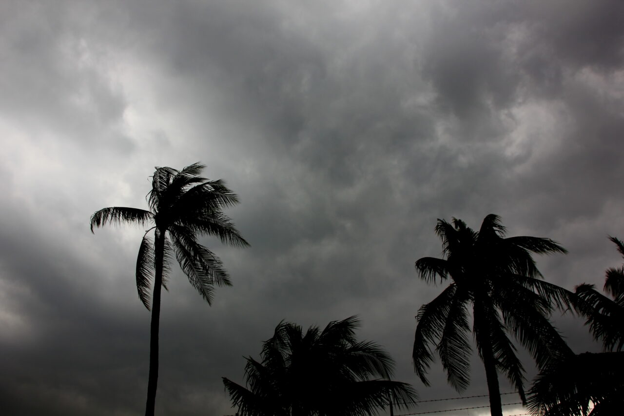
Uncertainty abounds in Jacksonville ahead of Hurricane Ian, and the entire city is now under a tropical storm warning and a state of emergency.
Chief Administrative Officer Brian Hughes introduced the emergency declaration to the Jacksonville City Council Tuesday, hours after Mayor Lenny Curry announced it at a press conference.
“It simply authorizes the administration the various emergency powers that allow us to rapidly respond,” Hughes said.
Hughes noted the “erratic” track of the storm was keening northeast.
“Even though it will potentially move across land for some time, it could still be impacting our area with serious force,” Hughes said.

Hughes noted the rain and the tidal patterns as potential contributors to “substantial water events” in Duval County.
The emergency declaration formalizes a plan of action already set into motion.
The Legends Center on Soutel will be open Wednesday evening for those who need emergency shelter. This is the only confirmed shelter currently, but others are being prestaged, Hughes told the City Council.
Jacksonville Beach is already under a state of emergency, with Neptune Beach to declare its own Tuesday afternoon, and Atlantic Beach to follow on Wednesday.
Duval County Public Schools will close Wednesday, Thursday and Friday as the storm approaches. Wednesday was to be an early dismissal day for the district, but the decision to cancel was made late Tuesday afternoon.

Jacksonville schools will join a host of others in the region to curtail operations ahead of the storm.
Florida State College at Jacksonville and Jacksonville University will close Wednesday through Friday.
Schools will be closed in Baker, Bradford, Clay and Putnam counties Wednesday through Friday also. Nassau County schools will be closed Thursday and Friday, but with no after-school activities Wednesday ahead of the storm’s anticipated approach.
A Tropical Storm Warning is in effect for Duval and counties south. A St. Johns River Storm Surge Warning is forecast currently to be between three and five feet above normal, levels below those of the catastrophic Irma of 2017.
Expect more changes to the local forecast as the storm approaches Florida.
“Ian could possibly be a hybrid of Irma,” Curry said on Tuesday at the press conference, invoking memories of the 2017 storm that brought historic flooding to much of Duval County, and urging people in areas that flooded then to evacuate ahead of a potential repeat scenario.
Hughes noted there are no mandatory evacuations yet, but that some may be “highly likely,” specifically in Evacuation Zone A tomorrow.
“They would have pretty much all day tomorrow,” Hughes said.
One comment
Tjb
September 27, 2022 at 2:38 pm
Governor DeSantis,
Hurricane heading toward home. I can’t get property insurance. Need help now. One company offer me insurance at double what I paid last year, but as yesterday they dropped out of the Florida market. Help me Ron
Comments are closed.